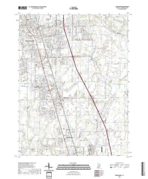
2022 Map of Greenwood
USGS Topo · Published 2022About this map
Greenwood and Franklin anchor this northern Johnson County landscape, illustrating a suburban corridor defined by its transportation networks. The L & I RR runs north-south through the heart of New Whiteland and Whiteland, serving as a historic spine alongside modern infrastructure like Indy South Greenwood Airport. While the northern reaches of the quadrangle show dense development in Spring Hill, the eastern and southern portions retain their agricultural character, evidenced by numerous family and community burial grounds including Greenwood Cem, Hurricane Cem, and the Williams Cem. A complex system of waterways, including Youngs Cr and Hurricane Cr, drains the territory, with several legacy trails like the Mains St/Cr950n Trl and Franklin Community High School Trl providing modern pedestrian access to historical routes.
Find a feature on this map
53 named features on this map. Tap any name to fly to it.
Don’t see what you’re looking for? This feature index may not catch every label — zoom into the map to look around manually.
Map Details
Editions of this 2022 Greenwood Map
This is the sole edition of this map. No revisions or reprints were ever made.
Other maps of this area

1942 · Franklin
USGS Topo · 1:125,000

1942 · Columbus
USGS Topo · 1:125,000

1947 · Franklin
USGS Topo · 1:62,500

1948 · Franklin
USGS Topo · 1:24,000

1948 · Maywood
USGS Topo · 1:24,000

1948 · Beech Grove
USGS Topo · 1:24,000

1948 · Trafalgar
USGS Topo · 1:24,000

1948 · Marietta
USGS Topo · 1:24,000

1950 · Franklin
USGS Topo · 1:62,500

1950 · Edinburg
USGS Topo · 1:62,500