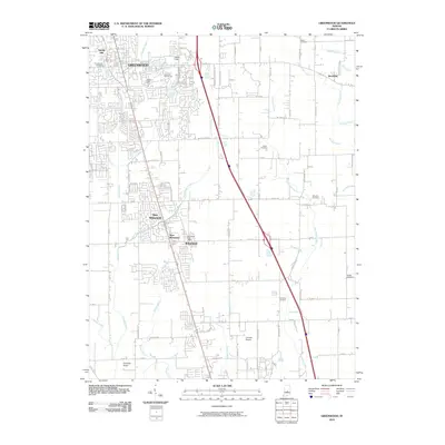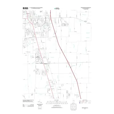
1992 Map of Greenwood
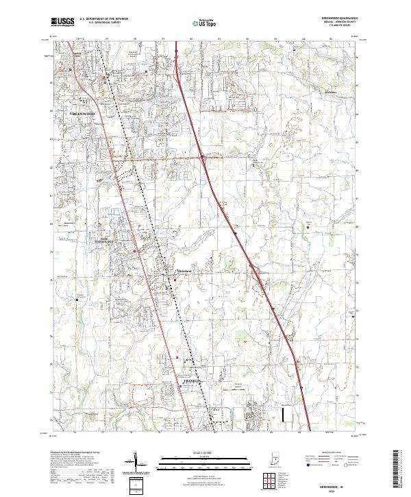
USGS Topo · Published 1995About this map
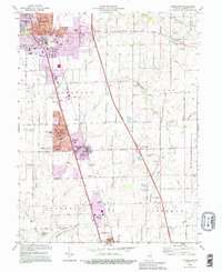
Greenwood and its southern neighbors anchor this mid-1990s landscape, revealing the transition from historic town centers to expanded suburban residential areas. The corridor along the Conrail line and Highway 31 serves as the primary artery connecting New Whiteland and Whiteland, where educational infrastructure like Whiteland High Sch and Clark-Pleasant Jr High Sch highlights local growth. This document incorporates revisions from 1992, showcasing the intensification of development around older landmarks such as Kelly Hill and Craig Park.
Find a feature on this map
58 named features on this map. Tap any name to fly to it.
Don’t see what you’re looking for? This feature index may not catch every label — zoom into the map to look around manually.
Map Details
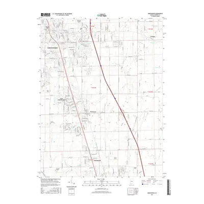
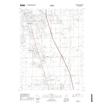
Editions of this 1992 Greenwood Map
This is the sole edition of this map. No revisions or reprints were ever made.
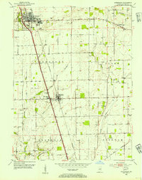
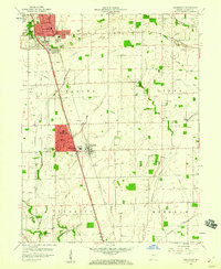
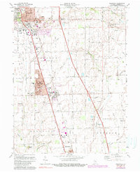
Historical Maps of Greenwood Through Time
9 maps found