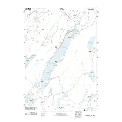
2011 Map of Greenwood Lake
USGS Topo · Published 2011About this map
Greenwood Lake serves as the central anchor for this interstate corridor, where the Highlands terrain of New York and New Jersey meets a dense concentration of mid-twentieth-century lakeside settlements and recreation camps. From the northern reaches of Warwick near Dutch Hollow down to Hewitt and West Milford, the landscape is defined by its water-driven history and infrastructure. The map documents a specialized transportation network ranging from the Greenwood Lake Airport and the Greenwood Lake Seaplane Base to the pedestrian paths of the Appalachian Trl traversing the ridges of Bellvale Mountain.
Find a feature on this map
69 named features on this map. Tap any name to fly to it.
Don’t see what you’re looking for? This feature index may not catch every label — zoom into the map to look around manually.
Map Details
Editions of this 2011 Greenwood Lake Map
This is the sole edition of this map. No revisions or reprints were ever made.
Other maps of this area

1891 · Greenwood Lake
USGS Topo · 1:62,500

1891 · Ramapo
USGS Topo · 1:62,500

1893 · Greenwood Lake
USGS Topo · 1:62,500

1893 · Ramapo
USGS Topo · 1:62,500

1902 · Schunemunk
USGS Topo · 1:62,500

1903 · Greenwood Lake
USGS Topo · 1:62,500

1906 · Goshen
USGS Topo · 1:62,500

1908 · Goshen
USGS Topo · 1:62,500

1910 · Ramapo
USGS Topo · 1:62,500

1910 · Greenwood Lake
USGS Topo · 1:62,500