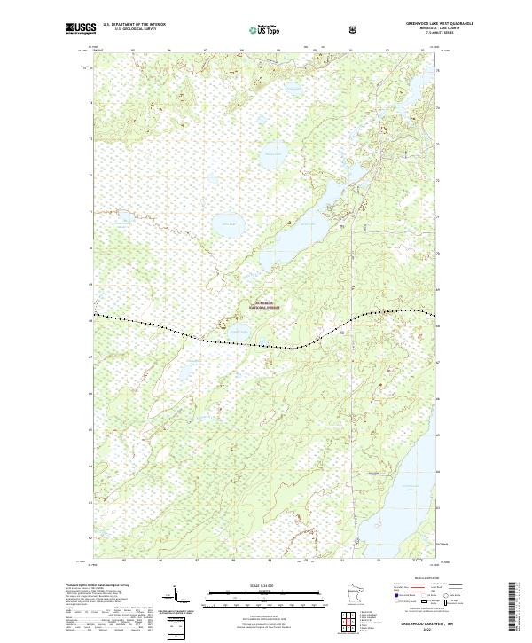
2022 Map of Greenwood Lake West
USGS Topo · Published 2022About this map
The Superior National Forest dominates this landscape in northeastern Minnesota, characterized by a complex network of glacial lakes and river systems. The northern portion of Greenwood Lake extends into the sheet from the south, while several smaller interior water bodies like Bonga Lake, Lobo Lake, and the connected Sand Lake provide key landmarks. The drainage pattern is defined by the northward-flowing Dunka River and the Sand River, which meanders through the central terrain.
Find a feature on this map
22 named features on this map. Tap any name to fly to it.
Don’t see what you’re looking for? This feature index may not catch every label — zoom into the map to look around manually.
Map Details
Editions of this 2022 Greenwood Lake West Map
This is the sole edition of this map. No revisions or reprints were ever made.
Other maps of this area

1952 · Babbitt SE
USGS Topo · 1:24,000

1952 · Babbitt NE
USGS Topo · 1:24,000

1953 · Whyte
USGS Topo · 1:62,500

1954 · Greenwood Lake
USGS Topo · 1:62,500

1954 · Two Harbors
USGS Topo · 1:250,000

1957 · Two Harbors
USGS Topo · 1:250,000

1957 · Brimson
USGS Topo · 1:62,500

1958 · Two Harbors
USGS Topo · 1:250,000

1964 · Two Harbors
USGS Topo · 1:250,000

1976 · Two Harbors
USGS Topo · 1:100,000