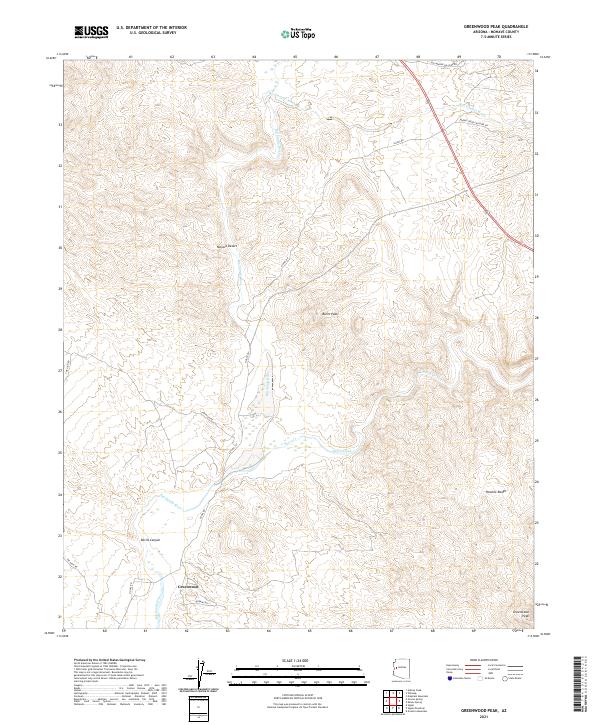
2021 Map of Greenwood Peak
USGS Topo · Published 2021About this map
Greenwood sits as the primary settlement within this arid landscape where the eastern edge of the Mojave Desert meets the high elevations of the Poachie Range. The topography is defined by the significant confluence where Burro Creek flows into the Big Sandy River, creating a complex network of drainage systems including Box Canyon Wash and the steep terrain of Devils Canyon.
Find a feature on this map
22 named features on this map. Tap any name to fly to it.
Don’t see what you’re looking for? This feature index may not catch every label — zoom into the map to look around manually.
Map Details
Editions of this 2021 Greenwood Peak Map
This is the sole edition of this map. No revisions or reprints were ever made.
Other maps of this area

1923 · Signal
USGS Topo · 1:250,000

1942 · Signal
USGS Topo · 1:250,000

1950 · Prescott
USGS Topo · 1:250,000

1954 · Prescott
USGS Topo · 1:250,000

1958 · Prescott
USGS Topo · 1:250,000

1959 · Prescott
USGS Topo · 1:250,000

1960 · Prescott
USGS Topo · 1:250,000

1965 · Prescott
USGS Topo · 1:250,000

1966 · Artillery Peak
USGS Topo · 1:62,500
1967 · Groom Spring
USGS Topo · 1:24,000