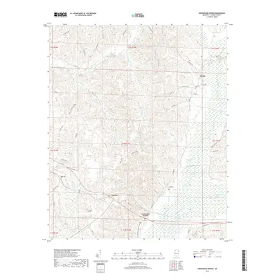
2018 Map of Greenwood Springs
USGS Topo · Published 2018About this map
Greenwood Springs and the surrounding Monroe County landscape are defined by a dense network of creek valleys and ridges where the Buttahatchee River winds through the southern portion of the quadrangle. Small settlements such as Splunge, Quincy, and Wise Gap serve as local hubs for a rural community connected by a web of named backroads like Splunge Rd and Old Quincy Rd. The map reveals a strong pattern of early settlement through its numerous family and community burial grounds, including McKinney Cem, Lann Cem, and Boggan Cem.
Find a feature on this map
63 named features on this map. Tap any name to fly to it.
Don’t see what you’re looking for? This feature index may not catch every label — zoom into the map to look around manually.
Map Details
Editions of this 2018 Greenwood Springs Map
This is the sole edition of this map. No revisions or reprints were ever made.
Other maps of this area

1953 · West Point
USGS Topo · 1:250,000

1956 · Tupelo
USGS Topo · 1:250,000

1958 · Tupelo
USGS Topo · 1:250,000

1958 · West Point
USGS Topo · 1:250,000

1963 · West Point
USGS Topo · 1:250,000

1966 · Smithville
USGS Topo · 1:24,000

1966 · Amory
USGS Topo · 1:24,000

1966 · Amory SW
USGS Topo · 1:24,000

1966 · Turon
USGS Topo · 1:24,000

1966 · Greenwood Springs
USGS Topo · 1:24,000