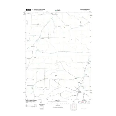
2013 Map of Greenwood
USGS Topo · Published 2013About this map
Hartsville and West Greenwood anchor this rural landscape in the Southern Tier, where a network of steep-sided valleys and high plateaus dictates the pattern of settlement. Numerous family-named landmarks and ancestral burial grounds are scattered throughout the hills, including Krusen Cem, Letts Cem, and Atkins Cem, providing vital reference points for genealogical research. The terrain is deeply incised by watercourses such as Purdy Cr, Slate Cr, and Bennetts Cr, which create the distinct hollows that define local geography. Large agricultural and recreational holdings, such as Stephens Tree Farm and Bar B R Farms, illustrate the modern land use in Allegany County. This topographic study captures the area's transition into the twenty-first century, balancing traditional dairy and timber roots with recreational sites like Camp Harley near the northern boundary.
Find a feature on this map
86 named features on this map. Tap any name to fly to it.
Don’t see what you’re looking for? This feature index may not catch every label — zoom into the map to look around manually.
Map Details
Editions of this 2013 Greenwood Map
This is the sole edition of this map. No revisions or reprints were ever made.
Other maps of this area

1915 · Hornell
USGS Topo · 1:62,500

1916 · Canaseraga
USGS Topo · 1:62,500

1918 · Hornell
USGS Topo · 1:62,500

1926 · Wellsville
USGS Topo · 1:62,500

1926 · Greenwood
USGS Topo · 1:62,500

1940 · Canaseraga
USGS Topo · 1:62,500

1950 · Elmira
USGS Topo · 1:250,000

1954 · South Canisteo
USGS Topo · 1:24,000

1954 · Troupsburg
USGS Topo · 1:24,000
1954 · Canisteo
USGS Topo · 1:24,000