
1926 Map of Greenwood
USGS Topo · Published 1926About this map
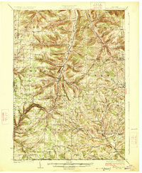
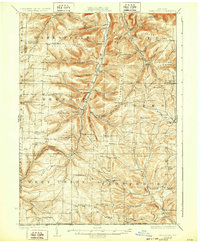
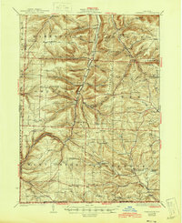
Bennetts Creek and its narrow valley floor serve as the primary corridor for commerce and transport through this Steuben County landscape in the mid-1920s. The New York and Pennsylvania RR snakes through the center of the sheet, connecting settlements like Greenwood and Rexville with the larger rail network. This era shows a densely populated rural environment, evidenced by the sheer number of localized schoolhouses such as Shovel Hollow School, Wyckoff School, and Thorn Bottom School that served specific hollows and ridges.
Find a feature on this map
111 named features on this map. Tap any name to fly to it.
Don’t see what you’re looking for? This feature index may not catch every label — zoom into the map to look around manually.
Map Details
Editions of this 1926 Greenwood Map
4 editions found
Other maps of this area

1899 · Gaines
USGS Topo · 1:62,500

1900 · Gaines
USGS Topo · 1:62,500

1900 · Elkland
USGS Topo · 1:62,500

1910 · Bath
USGS Topo · 1:62,500

1915 · Hornell
USGS Topo · 1:62,500

1916 · Canaseraga
USGS Topo · 1:62,500

1918 · Hornell
USGS Topo · 1:62,500

1924 · Woodhull
USGS Topo · 1:48,000

1926 · Wellsville
USGS Topo · 1:62,500

1926 · Woodhull
USGS Topo · 1:62,500