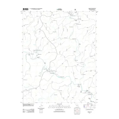
2011 Map of Greer
USGS Topo · Published 2011About this map
Greer Mill and Turners Mill anchor this study of the Ozark river valley, illustrating the historical reliance on water power along the Eleven Point River. The landscape is defined by its karst topography, featuring numerous water sources like Greer Spring, Falling Spring, and McCormack Spring. Small settlements and family-named hollows, including New Liberty and Thomasville Hollow, are scattered throughout the region. Local history is preserved in sites such as Falling Spring Cemetery and Saints Cemetery, while the development of modern recreation is evident at the McCormack Lake Campground and the Ozark Trail Trailhead. The map reveals a transition from traditional mill-based industry to a protected wilderness and recreational area.
Find a feature on this map
61 named features on this map. Tap any name to fly to it.
Don’t see what you’re looking for? This feature index may not catch every label — zoom into the map to look around manually.
Map Details
Editions of this 2011 Greer Map
This is the sole edition of this map. No revisions or reprints were ever made.
Other maps of this area

1931 · Bandyville
USGS Topo · 1:48,000

1941 · Gatewood
USGS Topo · 1:62,500

1944 · Van Buren
USGS Topo · 1:62,500

1944 · Couch
USGS Topo · 1:62,500

1944 · Birch Tree
USGS Topo · 1:62,500

1945 · Gatewood
USGS Topo · 1:62,500

1946 · Couch
USGS Topo · 1:62,500

1946 · Van Buren
USGS Topo · 1:62,500

1948 · Birch Tree
USGS Topo · 1:62,500

1957 · Poplar Bluff
USGS Topo · 1:250,000