
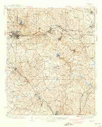
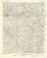
1938 Map of Greer
USGS Topo · Published 1938About this map
Greer and its surrounding mill towns anchor this upstate South Carolina landscape during the mid-1930s, a period defined by the convergence of the textile industry and a dense network of rural communities. The map detail reveals how the Southern Railway and Piedmont and Northern Railway interconnected industrial centers like Lyman and Wellford with smaller settlements such as Reidville and Fairmont. This survey provides a remarkable record of rural social infrastructure, documenting dozens of neighborhood landmarks like Washington Ch, Old Pilgrim Ch, and Shiloh Sch that served as the heart of local life.
Find a feature on this map
93 named features on this map. Tap any name to fly to it.
Don’t see what you’re looking for? This feature index may not catch every label — zoom into the map to look around manually.
Map Details
Editions of this 1938 Greer Map
3 editions found
Other maps of this area

1907 · Saluda
USGS Topo · 1:125,000

1935 · Greer
USGS Topo · 1:48,000

1935 · Greenville
USGS Topo · 1:48,000

1938 · Greenville
USGS Topo · 1:62,500

1941 · Spartanburg
USGS Topo · 1:250,000

1947 · Spartanburg
USGS Topo · 1:62,500

1949 · Spartanburg
USGS Topo · 1:24,000

1949 · Spartanburg
USGS Topo · 1:62,500

1953 · Spartanburg
USGS Topo · 1:250,000

1953 · Charlotte
USGS Topo · 1:250,000