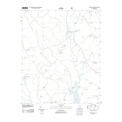
2011 Map of Greshamville
USGS Topo · Published 2011About this map
Wrayswood and Greshamville anchor this northern Georgia landscape during a period of modern recreational and conservation development. The winding Oconee River serves as a central artery, feeding the northern reaches of Lake Oconee and supporting various managed spaces like the Oconee River Campground and Picnic Area. The map reveals a dense network of private and public camps, such as Cloverfield Hunt Camp and Magnolia Hunt Camp, reflecting the area's deep-rooted outdoor sporting culture.
Find a feature on this map
66 named features on this map. Tap any name to fly to it.
Don’t see what you’re looking for? This feature index may not catch every label — zoom into the map to look around manually.
Map Details
Editions of this 2011 Greshamville Map
This is the sole edition of this map. No revisions or reprints were ever made.
Other maps of this area

1953 · Athens
USGS Topo · 1:250,000

1958 · Athens
USGS Topo · 1:250,000

1959 · Athens
USGS Topo · 1:250,000

1963 · Athens
USGS Topo · 1:250,000

1964 · Barnett Shoals
USGS Topo · 1:24,000

1964 · Watkinsville
USGS Topo · 1:24,000

1971 · Maxeys
USGS Topo · 1:24,000

1972 · Penfield
USGS Topo · 1:24,000

1972 · Buckhead
USGS Topo · 1:24,000

1972 · Apalachee
USGS Topo · 1:24,000