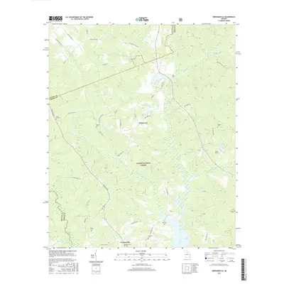
2017 Map of Greshamville
USGS Topo · Published 2017About this map
Greshamville and the surrounding timberlands of the Oconee National Forest anchor this 2017 survey of the Greene County landscape. The terrain is defined by the convergence of several major water systems, including the Apalachee River and the Oconee River, which flow south into the expansive waters of Lake Oconee. The map documents a predominantly rural and forested interior, punctuated by the small settlement of Wrayswood and numerous family burial grounds that reflect the area's deep genealogical roots.
Find a feature on this map
55 named features on this map. Tap any name to fly to it.
Don’t see what you’re looking for? This feature index may not catch every label — zoom into the map to look around manually.
Map Details
Editions of this 2017 Greshamville Map
This is the sole edition of this map. No revisions or reprints were ever made.
Other maps of this area

1953 · Athens
USGS Topo · 1:250,000

1958 · Athens
USGS Topo · 1:250,000

1959 · Athens
USGS Topo · 1:250,000

1963 · Athens
USGS Topo · 1:250,000

1964 · Barnett Shoals
USGS Topo · 1:24,000

1964 · Watkinsville
USGS Topo · 1:24,000

1971 · Maxeys
USGS Topo · 1:24,000

1972 · Penfield
USGS Topo · 1:24,000

1972 · Buckhead
USGS Topo · 1:24,000

1972 · Apalachee
USGS Topo · 1:24,000