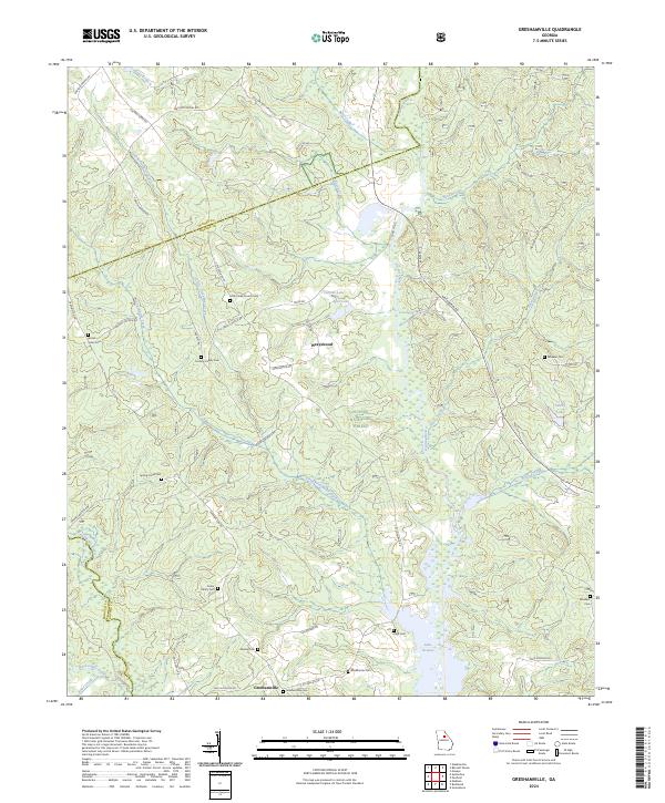
2024 Map of Greshamville
USGS Topo · Published 2024About this map
Wrayswood and Greshamville serve as the primary settlement markers in this section of Georgia's Piedmont, where the landscape is defined by the winding course of the Oconee River and the northern reaches of Lake Oconee. The area exhibits a dense concentration of family and community burial grounds, such as the Cochran Family Cem, Foster Family Cem, and Little Creek Church Cem, reflecting deep-rooted generational ties to the land. Large portions of the terrain are protected within the Oconee National Forest, maintaining a balance between timbered tracts and rural road networks.
Find a feature on this map
60 named features on this map. Tap any name to fly to it.
Don’t see what you’re looking for? This feature index may not catch every label — zoom into the map to look around manually.
Map Details
Editions of this 2024 Greshamville Map
This is the sole edition of this map. No revisions or reprints were ever made.
Other maps of this area

1953 · Athens
USGS Topo · 1:250,000

1958 · Athens
USGS Topo · 1:250,000

1959 · Athens
USGS Topo · 1:250,000

1963 · Athens
USGS Topo · 1:250,000

1964 · Barnett Shoals
USGS Topo · 1:24,000

1964 · Watkinsville
USGS Topo · 1:24,000

1971 · Maxeys
USGS Topo · 1:24,000

1972 · Penfield
USGS Topo · 1:24,000

1972 · Buckhead
USGS Topo · 1:24,000

1972 · Apalachee
USGS Topo · 1:24,000