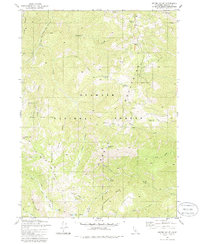
1981 Map of Grider Valley
USGS Topo · Published 1986About this map
Klamath National Forest dominates this section of the Siskiyou Mountains, where high-altitude ridges and deep river canyons define the landscape. The Pacific Crest National Scenic Trail winds through the northern portion of the Marble Mountain Wilderness, providing a primary artery for movement through this undeveloped terrain. This 1981 survey documents a wilderness area largely untouched by permanent settlement, focused instead on natural water sources and land management infrastructure like Lake Mtn Lookout.
Find a feature on this map
40 named features on this map. Tap any name to fly to it.
Don’t see what you’re looking for? This feature index may not catch every label — zoom into the map to look around manually.
Map Details
Editions of this 1981 Grider Valley Map
2 editions found
Other maps of this area

1914 · Seiad
USGS Topo · 1:125,000

1922 · Seiad
USGS Topo · 1:125,000

1948 · Weed
USGS Topo · 1:250,000

1950 · Weed
USGS Topo · 1:250,000

1955 · Seiad Valley
USGS Topo · 1:62,500

1955 · Ukonom Lake
USGS Topo · 1:62,500

1955 · Scott Bar
USGS Topo · 1:62,500

1956 · Happy Camp
USGS Topo · 1:62,500

1958 · Weed
USGS Topo · 1:250,000

1963 · Weed
USGS Topo · 1:250,000