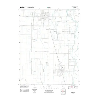
2012 Map of Gridley
USGS Topo · Published 2012About this map
Gridley and Live Oak serve as the primary hubs in this agricultural corridor along the Feather River in the early 2010s. The landscape is defined by a dense network of irrigation and drainage infrastructure, including the Sutter Butte Canal, Morrison Slough, and numerous laterals like Lateral E that support the region's orchards and fields. This survey shows the orderly grid of the towns juxtaposed against the meandering path of the Snake River at the southwestern edge of the quadrangle.
Find a feature on this map
91 named features on this map. Tap any name to fly to it.
Don’t see what you’re looking for? This feature index may not catch every label — zoom into the map to look around manually.
Map Details
Editions of this 2012 Gridley Map
This is the sole edition of this map. No revisions or reprints were ever made.
Other maps of this area

1888 · Marysville
USGS Topo · 1:125,000

1891 · Marysville
USGS Topo · 1:125,000

1894 · Marysville
USGS Topo · 1:125,000

1895 · Marysville
USGS Topo · 1:125,000

1911 · Sutter
USGS Topo · 1:31,680
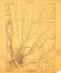
1911 · Yuba City
USGS Topo · 1:31,680

1911 · Landlow
USGS Topo · 1:31,680

1912 · Marysville Buttes
USGS Topo · 1:31,680

1912 · Pennington
USGS Topo · 1:31,680
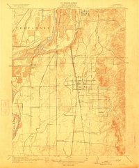
1912 · Palermo
USGS Topo · 1:31,680