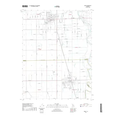
2018 Map of Gridley
USGS Topo · Published 2018About this map
Live Oak and Gridley define this agricultural corridor along the Feather River in the heart of Northern California. The landscape is structured by an extensive irrigation network, including the Live Oak Canal, Sutter Butte Canal, and Traynor Lateral, which support the region’s productive orchards and fields. Small rural nodes like Fagan, East Gridley, and Sunset dot the map, connected by a rigid grid of local roads and the primary north-south transportation route. To the southwest, the distinctive rising terrain of the Sutter Buttes breaks the valley floor, while features like the Live Oak Cem and Bowles Airport provide specific points of interest for genealogists and local historians tracing the community's development.
Find a feature on this map
146 named features on this map. Tap any name to fly to it.
Don’t see what you’re looking for? This feature index may not catch every label — zoom into the map to look around manually.
Map Details
Editions of this 2018 Gridley Map
This is the sole edition of this map. No revisions or reprints were ever made.
Other maps of this area
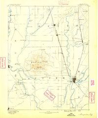
1888 · Marysville
USGS Topo · 1:125,000
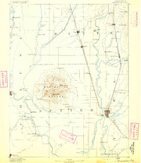
1891 · Marysville
USGS Topo · 1:125,000
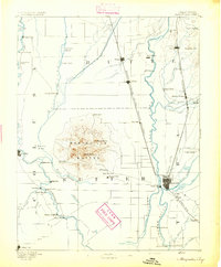
1894 · Marysville
USGS Topo · 1:125,000
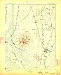
1895 · Marysville
USGS Topo · 1:125,000
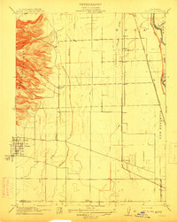
1911 · Sutter
USGS Topo · 1:31,680
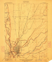
1911 · Yuba City
USGS Topo · 1:31,680
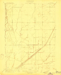
1911 · Landlow
USGS Topo · 1:31,680
1912 · Marysville Buttes
USGS Topo · 1:31,680
1912 · Pennington
USGS Topo · 1:31,680
1912 · Palermo
USGS Topo · 1:31,680