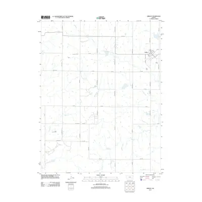
2012 Map of Gridley
USGS Topo · Published 2012About this map
Gridley serves as the primary hub for this section of eastern Kansas, appearing as a compact grid of streets including 1st St, Stuckey St, and Rural St SW. The town includes local landmarks such as the Po and the nearby Gridley Cem to the east. Outside the settlement, the landscape is defined by its agricultural and petroleum heritage, marked by the extensive Dunaway Oil Field and the Virgil North Oil Field.
Find a feature on this map
43 named features on this map. Tap any name to fly to it.
Don’t see what you’re looking for? This feature index may not catch every label — zoom into the map to look around manually.
Map Details
Editions of this 2012 Gridley Map
This is the sole edition of this map. No revisions or reprints were ever made.
Other maps of this area

1885 · Burlington
USGS Topo · 1:125,000

1885 · Eureka
USGS Topo · 1:125,000

1886 · Fredonia
USGS Topo · 1:125,000

1888 · Emporia
USGS Topo · 1:125,000

1888 · Eureka
USGS Topo · 1:125,000

1894 · Emporia
USGS Topo · 1:125,000

1894 · Fredonia
USGS Topo · 1:125,000

1894 · Burlington
USGS Topo · 1:125,000

1894 · Eureka
USGS Topo · 1:125,000

1947 · Lawrence
USGS Topo · 1:250,000