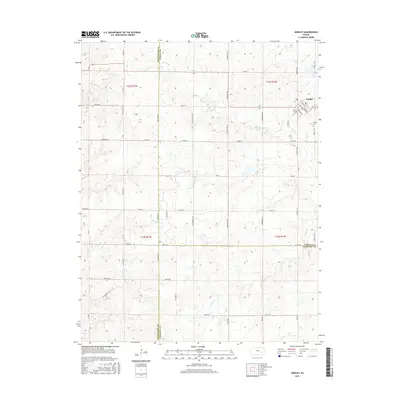
2015 Map of Gridley
USGS Topo · Published 2015About this map
Gridley serves as the primary community on this Coffey County landscape, where the local street grid is defined by thoroughfares like Main St, Reed St, and Fessenden St. The town sits at the intersection of a vast agricultural network of township and county roads that stretch across the prairie. The Gridley Cem is located just east of the main settlement area, providing a key point of interest for genealogists and local historians.
Find a feature on this map
53 named features on this map. Tap any name to fly to it.
Don’t see what you’re looking for? This feature index may not catch every label — zoom into the map to look around manually.
Map Details
Editions of this 2015 Gridley Map
This is the sole edition of this map. No revisions or reprints were ever made.
Other maps of this area

1885 · Burlington
USGS Topo · 1:125,000

1885 · Eureka
USGS Topo · 1:125,000

1886 · Fredonia
USGS Topo · 1:125,000

1888 · Emporia
USGS Topo · 1:125,000

1888 · Eureka
USGS Topo · 1:125,000

1894 · Emporia
USGS Topo · 1:125,000

1894 · Fredonia
USGS Topo · 1:125,000

1894 · Burlington
USGS Topo · 1:125,000

1894 · Eureka
USGS Topo · 1:125,000

1947 · Lawrence
USGS Topo · 1:250,000