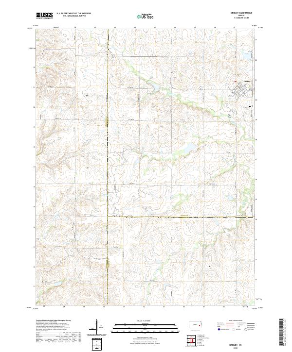
2022 Map of Gridley
USGS Topo · Published 2022About this map
The settlement of Gridley occupies the northeast corner of this Kansas landscape, serving as a hub for the surrounding agricultural prairie. Situated at the junction of Emmer Rd SW and several local thoroughfares like Main St and Fessenden St, the town layout follows a grid that terminates near Gridley Cem to the south. This area represents a point of intersection for three counties, where Greenwood, Coffey, and Woodson lines meet.
Find a feature on this map
54 named features on this map. Tap any name to fly to it.
Don’t see what you’re looking for? This feature index may not catch every label — zoom into the map to look around manually.
Map Details
Editions of this 2022 Gridley Map
This is the sole edition of this map. No revisions or reprints were ever made.
Other maps of this area

1885 · Burlington
USGS Topo · 1:125,000

1885 · Eureka
USGS Topo · 1:125,000

1886 · Fredonia
USGS Topo · 1:125,000

1888 · Emporia
USGS Topo · 1:125,000

1888 · Eureka
USGS Topo · 1:125,000

1894 · Emporia
USGS Topo · 1:125,000

1894 · Fredonia
USGS Topo · 1:125,000

1894 · Burlington
USGS Topo · 1:125,000

1894 · Eureka
USGS Topo · 1:125,000

1947 · Lawrence
USGS Topo · 1:250,000