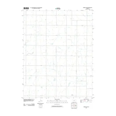
2009 Map of Gridley NW
USGS Topo · Published 2009About this map
Apostolic Cemetery serves as a lone landmark in this portion of southern Lyon County, where the landscape is defined by the headwaters and tributaries of several prominent local waterways. This rural expanse is drained by the winding courses of North Big Creek, Otter Creek, and Fourmile Creek, creating a complex hydrographic network that has historically influenced the placement of farmsteads and transport routes.
Find a feature on this map
32 named features on this map. Tap any name to fly to it.
Don’t see what you’re looking for? This feature index may not catch every label — zoom into the map to look around manually.
Map Details
Editions of this 2009 Gridley NW Map
This is the sole edition of this map. No revisions or reprints were ever made.
Other maps of this area

1885 · Burlington
USGS Topo · 1:125,000

1888 · Emporia
USGS Topo · 1:125,000

1894 · Emporia
USGS Topo · 1:125,000

1894 · Burlington
USGS Topo · 1:125,000

1947 · Lawrence
USGS Topo · 1:250,000

1950 · Lawrence
USGS Topo · 1:250,000

1955 · Hutchinson
USGS Topo · 1:250,000

1956 · Lawrence
USGS Topo · 1:250,000

1959 · Hutchinson
USGS Topo · 1:250,000

1961 · Lawrence
USGS Topo · 1:250,000