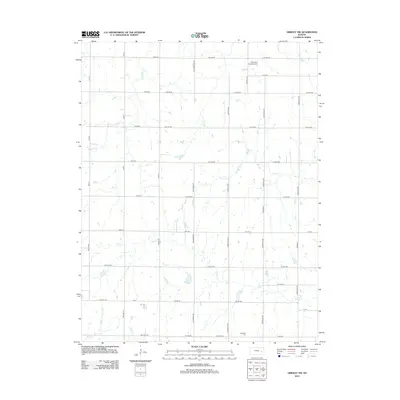
2012 Map of Gridley NW
USGS Topo · Published 2012About this map
Apostolic Cem sits at the southern edge of this Lyon County landscape, serving as a quiet landmark amidst a grid of rural township roads and agricultural sections. The area is defined by a dense network of prairie drainage, including the headwaters and branches of N Big Cr, Otter Cr, and Fourmile Cr. Small bodies of water like Birk Lake appear alongside these winding creeks, reflecting the local hydrology of eastern Kansas. Transport in the region is dominated by an orderly system of thoroughfares such as Blackbird Rd, Contour Rd, and numerous numbered township roads. In the northeast, Thomsen Field Airport provides a point of aviation infrastructure, while smaller streams like Dinner Cr and Long Cr cut through the southwestern corner, illustrating the intricate creek systems that dictated early land use and property boundaries in the county.
Find a feature on this map
47 named features on this map. Tap any name to fly to it.
Don’t see what you’re looking for? This feature index may not catch every label — zoom into the map to look around manually.
Map Details
Editions of this 2012 Gridley NW Map
This is the sole edition of this map. No revisions or reprints were ever made.
Other maps of this area

1885 · Burlington
USGS Topo · 1:125,000

1888 · Emporia
USGS Topo · 1:125,000

1894 · Emporia
USGS Topo · 1:125,000

1894 · Burlington
USGS Topo · 1:125,000

1947 · Lawrence
USGS Topo · 1:250,000

1950 · Lawrence
USGS Topo · 1:250,000

1955 · Hutchinson
USGS Topo · 1:250,000

1956 · Lawrence
USGS Topo · 1:250,000

1959 · Hutchinson
USGS Topo · 1:250,000

1961 · Lawrence
USGS Topo · 1:250,000