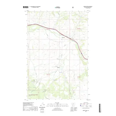
2020 Map of Griffin Creek
USGS Topo · Published 2020About this map
The Clark Fork river cuts through the northern landscape of this Powell County region, where the settlement of Goldcreek sits along the Carten Creek Rd. This area reflects a long history of transit and resource extraction, evidenced by the historic Mullan Trl winding through the western terrain and the network of gulches further south. Small settlements like Wall City and French Gulch are situated near the transition into the Deerlodge National Forest, where the topography becomes more complex.
Find a feature on this map
39 named features on this map. Tap any name to fly to it.
Don’t see what you’re looking for? This feature index may not catch every label — zoom into the map to look around manually.
Map Details
Editions of this 2020 Griffin Creek Map
This is the sole edition of this map. No revisions or reprints were ever made.
Other maps of this area

1889 · Helena
USGS Topo · 1:250,000

1893 · Helena
USGS Topo · 1:250,000

1899 · Helena
USGS Topo · 1:250,000

1903 · Helena
USGS Topo · 1:250,000

1908 · Philipsburg
USGS Topo · 1:125,000

1919 · Drummond
USGS Topo · 1:125,000

1921 · Drummond
USGS Topo · 1:125,000

1947 · Butte
USGS Topo · 1:250,000

1958 · Butte
USGS Topo · 1:250,000

1958 · Drummond
USGS Topo · 1:62,500