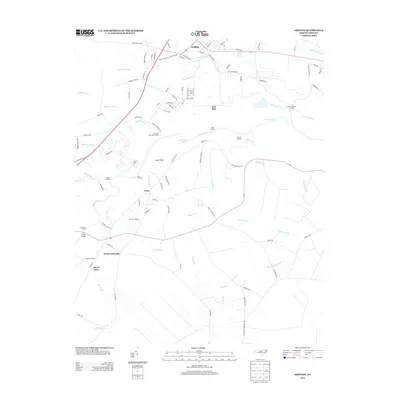
2013 Map of Grifton
USGS Topo · Published 2013About this map
Grifton and the surrounding river lowlands are defined by the convergence of Contentnea Cr and the Neuse River in this coastal plain landscape. The terrain is a network of water and wetlands, where named landings like Plank Landing, Pearce Landing, and Nelson Landing reflect a long history of river-based transport and access. Small, distinct communities such as Tick Bite, Closs, and West Crossroads are scattered across the higher ground between the swampy reaches of Eagle Swamp and the drainage of Snake Hole Br.
Find a feature on this map
105 named features on this map. Tap any name to fly to it.
Don’t see what you’re looking for? This feature index may not catch every label — zoom into the map to look around manually.
Map Details
Editions of this 2013 Grifton Map
This is the sole edition of this map. No revisions or reprints were ever made.
Other maps of this area

1902 · Ayden
USGS Topo · 1:62,500

1903 · Trent River
USGS Topo · 1:62,500

1904 · Ayden
USGS Topo · 1:62,500

1904 · Trent River
USGS Topo · 1:62,500

1914 · Kinston
USGS Topo · 1:48,000

1916 · Kinston
USGS Topo · 1:62,500

1953 · Rocky Mount
USGS Topo · 1:250,000

1954 · Rocky Mount
USGS Topo · 1:250,000

1958 · Deep Run
USGS Topo · 1:62,500
1980 · Rivermont
USGS Topo · 1:24,000