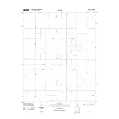
2012 Map of Griggs
USGS Topo · Published 2012About this map
Griggs stands as a primary point of reference in this corner of the Oklahoma Panhandle, where the land is strictly organized by a dense grid of section roads. This 2012 survey illustrates the enduring agricultural layout of the region, defined by long straight stretches such as N0500 Rd and N0550 Rd. The landscape is interspersed with small depressions and intermittent water features, characteristic of the High Plains terrain. Transportation across the rural expanse relies on a network of county routes including Co Hwy-53 and Co Hwy-25, which connect isolated homesteads and ranching operations. The transition into the northern Texas borderlands is marked by the appearance of Co Road GG and E0345 Rd, reflecting the subtle shifts in jurisdictional mapping and road naming conventions at the state line.
Find a feature on this map
22 named features on this map. Tap any name to fly to it.
Don’t see what you’re looking for? This feature index may not catch every label — zoom into the map to look around manually.
Map Details
Editions of this 2012 Griggs Map
This is the sole edition of this map. No revisions or reprints were ever made.
Other maps of this area

1954 · Perryton
USGS Topo · 1:250,000

1954 · Dalhart
USGS Topo · 1:250,000

1958 · Perryton
USGS Topo · 1:250,000

1958 · Dalhart
USGS Topo · 1:250,000

1962 · Dalhart
USGS Topo · 1:250,000

1964 · Kerrick
USGS Topo · 1:24,000

1964 · Stratford NE
USGS Topo · 1:24,000

1965 · Stevens
USGS Topo · 1:24,000

1971 · Griggs SW
USGS Topo · 1:24,000

1971 · Griggs NE
USGS Topo · 1:24,000