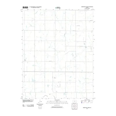
2010 Map of Grindstone Creek
USGS Topo · Published 2010About this map
Grindstone Creek and its many tributaries, including the evocative Thunderbolt Creek and Lightning Creek, define this Crawford County landscape. This drainage network provided the natural framework for the rural development and agricultural grid that took shape in the region. The map documents several key points of community history, most notably through its cemeteries which serve as vital markers for genealogical research. Meyers Cemetery lies in the northeastern quadrant, while Mount Carmel Cemetery and Osage Cemetery are situated further west and south, respectively. The road system, defined by coordinates such as W 600th Ave and S 70th St, illustrates the precision of the section-line layout that characterizes this portion of Kansas. Small stock ponds and seasonal watercourses like Elm Creek and Limestone Creek further punctuate the prairie, reflecting the local hydrology and land use patterns of the early twenty-first century.
Find a feature on this map
24 named features on this map. Tap any name to fly to it.
Don’t see what you’re looking for? This feature index may not catch every label — zoom into the map to look around manually.
Map Details
Editions of this 2010 Grindstone Creek Map
This is the sole edition of this map. No revisions or reprints were ever made.
Other maps of this area

1884 · Fort Scott
USGS Topo · 1:125,000

1886 · Joplin
USGS Topo · 1:125,000

1886 · Iola
USGS Topo · 1:125,000

1886 · Fort Scott
USGS Topo · 1:125,000

1886 · Parsons
USGS Topo · 1:125,000

1893 · Fort Scott
USGS Topo · 1:125,000

1893 · Iola
USGS Topo · 1:125,000

1893 · Parsons
USGS Topo · 1:125,000

1894 · Joplin
USGS Topo · 1:125,000

1904 · Iola
USGS Topo · 1:125,000