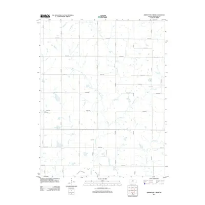
2012 Map of Grindstone Creek
USGS Topo · Published 2012About this map
Grindstone Cr and Lightning Cr meander through this section of Crawford County, forming a dense network of tributaries that define the local drainage patterns. The landscape is organized by a strict grid of section-line roads, including S 90th St and W 570th Ave, which reflect the enduring influence of the Public Land Survey System on Kansas agriculture. Small, family-named landmarks provide essential touchstones for local history and genealogy. Notable sites include Mount Carmel Cem in the west and Meyers Cem near Thunderbolt Cr in the east. These small burial grounds, along with Osage Cem, serve as the primary markers of early settlement in an area otherwise dominated by open fields and the winding paths of Mulberry Cr and Elm Cr.
Find a feature on this map
27 named features on this map. Tap any name to fly to it.
Don’t see what you’re looking for? This feature index may not catch every label — zoom into the map to look around manually.
Map Details
Editions of this 2012 Grindstone Creek Map
This is the sole edition of this map. No revisions or reprints were ever made.
Other maps of this area

1884 · Fort Scott
USGS Topo · 1:125,000

1886 · Joplin
USGS Topo · 1:125,000

1886 · Iola
USGS Topo · 1:125,000

1886 · Fort Scott
USGS Topo · 1:125,000

1886 · Parsons
USGS Topo · 1:125,000

1893 · Fort Scott
USGS Topo · 1:125,000

1893 · Iola
USGS Topo · 1:125,000

1893 · Parsons
USGS Topo · 1:125,000

1894 · Joplin
USGS Topo · 1:125,000

1904 · Iola
USGS Topo · 1:125,000