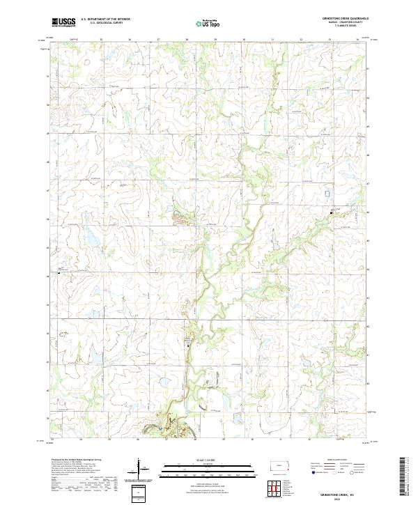
2022 Map of Grindstone Creek
USGS Topo · Published 2022About this map
Osage Brethern Cem and Mount Carmel Cem anchor the landscape of western Crawford County in this modern survey. The terrain is defined by a dense network of watercourses, where Grindstone Cr and Mulberry Cr meander through a grid of section lines and rural roads. This pattern reflects the enduring Public Land Survey System structure, with gravel routes like S 90th St and W 560th Ave providing access to remote homesteads and agricultural tracts. Further east, Lightning Cr and Thunderbolt Cr cut across the prairie, while Meyers Cem serves as a lone landmark near the map's edge. The absence of concentrated town centers highlights the area's pastoral character, focused instead on family-named cemeteries and the winding creek beds that have dictated local land use for generations.
Find a feature on this map
32 named features on this map. Tap any name to fly to it.
Don’t see what you’re looking for? This feature index may not catch every label — zoom into the map to look around manually.
Map Details
Editions of this 2022 Grindstone Creek Map
This is the sole edition of this map. No revisions or reprints were ever made.
Other maps of this area

1884 · Fort Scott
USGS Topo · 1:125,000

1886 · Joplin
USGS Topo · 1:125,000

1886 · Iola
USGS Topo · 1:125,000

1886 · Fort Scott
USGS Topo · 1:125,000

1886 · Parsons
USGS Topo · 1:125,000

1893 · Fort Scott
USGS Topo · 1:125,000

1893 · Iola
USGS Topo · 1:125,000

1893 · Parsons
USGS Topo · 1:125,000

1894 · Joplin
USGS Topo · 1:125,000

1904 · Iola
USGS Topo · 1:125,000