
1979 Map of Grinnell South
USGS Topo · Published 1980About this map
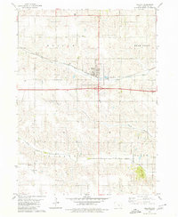
Grinnell anchors the northern edge of this Poweshiek County survey, showing the town's layout just before the 1980s. The campus of Grinnell College is clearly delineated near the center of town, surrounded by civic landmarks like City Hall and the Po. The map illustrates a landscape shaped by two major rail lines, the Chicago Rock Island and Pacific and the Chicago and North Western, which intersect in the heart of the community.
Find a feature on this map
33 named features on this map. Tap any name to fly to it.
Don’t see what you’re looking for? This feature index may not catch every label — zoom into the map to look around manually.
Map Details
Editions of this 1979 Grinnell South Map
This is the sole edition of this map. No revisions or reprints were ever made.
Other maps of this area

1954 · Des Moines
USGS Topo · 1:250,000

1956 · Des Moines
USGS Topo · 1:250,000

1957 · Des Moines
USGS Topo · 1:250,000

1969 · Des Moines
USGS Topo · 1:250,000

1979 · Montezuma
USGS Topo · 1:24,000

1979 · Searsboro
USGS Topo · 1:24,000
1979 · Malcom
USGS Topo · 1:24,000

1980 · Newburg
USGS Topo · 1:24,000

1980 · Sully
USGS Topo · 1:24,000
1980 · Grinnell North
USGS Topo · 1:24,000