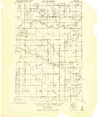
1919 Map of Grit
USGS Topo · Published 1919About this map
The Old Red Lake Indian Reservation Boundary Line bisects this northern Minnesota landscape, marking a significant historical border through Garnes and Equality townships. At the time of this 1919 survey, the area was transitioning through extensive hydrological engineering, evidenced by the numerous Ditch labels and defined swamp limits that crisscross the drainage basins of the Lost River, Hill River, and Poplar River.
Find a feature on this map
66 named features on this map. Tap any name to fly to it.
Don’t see what you’re looking for? This feature index may not catch every label — zoom into the map to look around manually.
Map Details
Editions of this 1919 Grit Map
This is the sole edition of this map. No revisions or reprints were ever made.
Other maps of this area
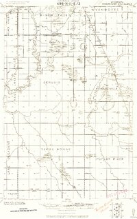
1918 · Terrebonne
USGS Topo · 1:62,500
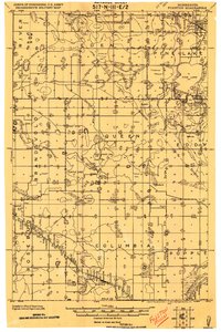
1919 · Fosston
USGS Topo · 1:62,500
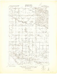
1919 · Winsor
USGS Topo · 1:62,500
1919 · Valley
USGS Topo · 1:62,500
1943 · Thief River Falls
USGS Topo · 1:62,500

1952 · Grand Forks
USGS Topo · 1:250,000
1952 · Thief River Falls
USGS Topo · 1:250,000

1954 · Bemidji
USGS Topo · 1:250,000
1954 · Roseau
USGS Topo · 1:250,000
1956 · Thief River Falls
USGS Topo · 1:250,000