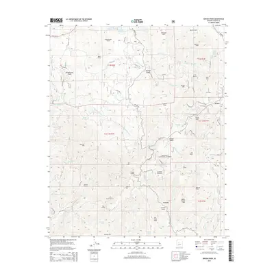
2014 Map of Groom Creek
USGS Topo · Published 2014About this map
Prescott National Forest dominates this high-altitude landscape south of Prescott, where the headwaters of the Hassayampa River and Wolf Creek carve through the Bradshaw Mountains. The map documents a scattered network of mountain settlements and camps, from the more established Groom Creek and Ponderosa Park to smaller enclaves like Potato Patch and Walker. This area has long been defined by its mineral wealth and timber, evidenced here by the Star Mine and the historical name of Sawmill Gulch.
Find a feature on this map
90 named features on this map. Tap any name to fly to it.
Don’t see what you’re looking for? This feature index may not catch every label — zoom into the map to look around manually.
Map Details
Editions of this 2014 Groom Creek Map
This is the sole edition of this map. No revisions or reprints were ever made.
Other maps of this area

1887 · Prescott
USGS Topo · 1:250,000

1892 · Prescott
USGS Topo · 1:250,000

1903 · Bradshaw Mountains
USGS Topo · 1:125,000

1903 · Congress
USGS Topo · 1:125,000

1904 · Congress
USGS Topo · 1:125,000

1905 · Jerome
USGS Topo · 1:125,000

1947 · Iron Springs
USGS Topo · 1:62,500

1947 · Mt. Union
USGS Topo · 1:62,500

1947 · Kirkland
USGS Topo · 1:62,500

1947 · Prescott
USGS Topo · 1:62,500