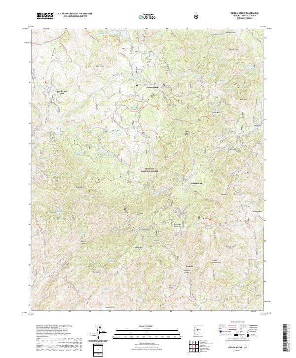
2021 Map of Groom Creek
USGS Topo · Published 2021About this map
Groom Creek and the southern reaches of the Bradshaw Mountains define this high-altitude landscape within the Prescott National Forest. The map documents a rugged network of mining-era remnants and contemporary mountain settlements, including Walker and Venezia. High points such as Spruce Mtn and Mt Union tower over the drainage basins of the Hassayampa River and Big Bug Cr. Notable for genealogists and local historians, the sheet records numerous isolated springs and family-named landmarks like Yankee Doodle Peak and Maverick Mtn. The naming of Ruth Mine Rd and Gold Mine Rd suggests the enduring legacy of mineral extraction in the canyons. Water sources like Upper Goldwater Lake and Lower Goldwater Lake contrast with the dry gulches and ridges that characterize the territory south of Prescott.
Find a feature on this map
111 named features on this map. Tap any name to fly to it.
Don’t see what you’re looking for? This feature index may not catch every label — zoom into the map to look around manually.
Map Details
Editions of this 2021 Groom Creek Map
This is the sole edition of this map. No revisions or reprints were ever made.
Other maps of this area

1887 · Prescott
USGS Topo · 1:250,000

1892 · Prescott
USGS Topo · 1:250,000

1903 · Bradshaw Mountains
USGS Topo · 1:125,000

1903 · Congress
USGS Topo · 1:125,000

1904 · Congress
USGS Topo · 1:125,000

1905 · Jerome
USGS Topo · 1:125,000

1947 · Iron Springs
USGS Topo · 1:62,500

1947 · Mt. Union
USGS Topo · 1:62,500

1947 · Kirkland
USGS Topo · 1:62,500

1947 · Prescott
USGS Topo · 1:62,500