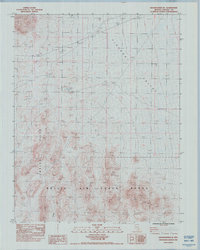
1983 Map of Groom Range SE
USGS Topo · Published 1983About this map
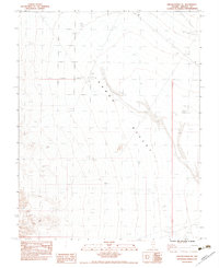
Tikaboo Valley occupies the northern half of this Nevada landscape, transitioning into the complex topography of the Jumbled Hills to the south. Produced in 1983 from 1976 aerial photography, the map highlights the proximity of these landforms to the Nellis Air Force Range, which encompasses the southern portion of the quadrangle. The presence of a Restricted area underscores the military significance of the region during the late twentieth century. This sheet is primarily a study of arid landforms and government land use, showing a terrain shaped by dry washes and high-desert elevations rather than civilian settlement. It serves as a specific record of the southern Nevada desert's geography at a time when military aerospace activity was a dominant factor in the regional landscape.
Find a feature on this map
4 named features on this map. Tap any name to fly to it.
Don’t see what you’re looking for? This feature index may not catch every label — zoom into the map to look around manually.
Map Details
Editions of this 1983 Groom Range SE Map
This is the sole edition of this map. No revisions or reprints were ever made.
Other maps of this area

1942 · Emigrant Valley
USGS Topo · 1:125,000

1945 · Alamo
USGS Topo · 1:125,000

1954 · Caliente
USGS Topo · 1:250,000

1959 · Caliente
USGS Topo · 1:250,000
1983 · Cutler Reservoir
USGS Topo · 1:24,000
1983 · Crescent Reservoir
USGS Topo · 1:24,000
1983 · Desert Hills NW
USGS Topo · 1:24,000
1983 · Groom Range NE
USGS Topo · 1:24,000
1983 · Fallout Hills NE
USGS Topo · 1:24,000

1985 · Pahranagat Range
USGS Topo · 1:100,000