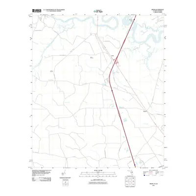
2011 Map of Gross
USGS Topo · Published 2011About this map
The Saint Marys River winds along the border between Florida and Georgia, anchoring a landscape of tidal creeks and quiet settlements in the early 21st century. This survey of the Gross quadrangle highlights the complex hydrology of the coastal plain, where the Little Saint Marys River and various tributaries like McQueen Creek and Lofton Creek dissect the low-lying terrain. The map documents the small communities of Gross and Becker, situated near the major transport corridor of Interstate 95 and Highway 17.
Find a feature on this map
30 named features on this map. Tap any name to fly to it.
Don’t see what you’re looking for? This feature index may not catch every label — zoom into the map to look around manually.
Map Details
Editions of this 2011 Gross Map
This is the sole edition of this map. No revisions or reprints were ever made.
Other maps of this area

1917 · Boulogne
USGS Topo · 1:62,500

1917 · Hilliard
USGS Topo · 1:62,500

1918 · St Marys
USGS Topo · 1:62,500

1918 · Kingsland
USGS Topo · 1:62,500

1919 · St Marys
USGS Topo · 1:62,500

1919 · Hilliard
USGS Topo · 1:62,500

1919 · Boulogne
USGS Topo · 1:62,500

1948 · Jacksonville
USGS Topo · 1:250,000

1957 · Jacksonville
USGS Topo · 1:250,000

1958 · Gross
USGS Topo · 1:24,000