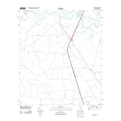
2012 Map of Gross
USGS Topo · Published 2012About this map
The Saint Marys River and its meandering tributaries define this borderland landscape between Florida and Georgia. In this early 21st-century portrait, the winding path of the Little Saint Marys River contrasts with the modern interstate and local road networks that serve the settlements of Gross and Becker. For those tracing family roots or local land use, the map identifies specific rural landmarks such as Wildes Cem and Owens Cem, alongside family-named routes like Amos White Rd and Taylor Rd. The drainage patterns of McQueen Cr and Lofton Cr illustrate the low-lying hydrology characteristic of the region, while Scrubby Bluff provides a named elevation point along the main river channel. The mix of residential estates, such as Fred Miner Estates Dr, and long-established river crossings like Coopers Neck Brg shows the evolution of this riverside community.
Find a feature on this map
39 named features on this map. Tap any name to fly to it.
Don’t see what you’re looking for? This feature index may not catch every label — zoom into the map to look around manually.
Map Details
Editions of this 2012 Gross Map
This is the sole edition of this map. No revisions or reprints were ever made.
Other maps of this area

1917 · Boulogne
USGS Topo · 1:62,500

1917 · Hilliard
USGS Topo · 1:62,500

1918 · St Marys
USGS Topo · 1:62,500

1918 · Kingsland
USGS Topo · 1:62,500

1919 · St Marys
USGS Topo · 1:62,500

1919 · Hilliard
USGS Topo · 1:62,500

1919 · Boulogne
USGS Topo · 1:62,500

1948 · Jacksonville
USGS Topo · 1:250,000

1957 · Jacksonville
USGS Topo · 1:250,000

1958 · Gross
USGS Topo · 1:24,000