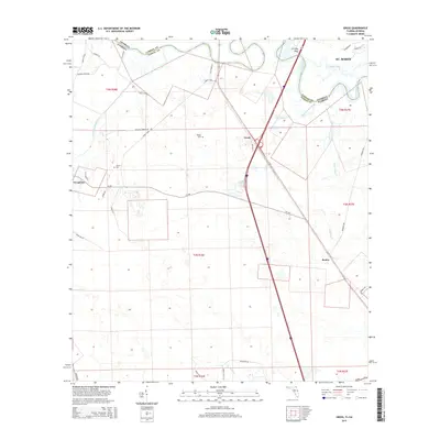
2015 Map of Gross
USGS Topo · Published 2015About this map
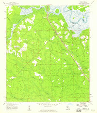
The Saint Marys River winds along the border of Florida and Georgia, defining the northern and eastern reaches of this landscape near the modern community of St. Marys. This survey captures the transition from riverfront lowlands and creek drainages, such as Little Saint Marys River and Plummer Cr, to the upland woods surrounding the settlements of Gross and Evergreen. Local history and genealogy are anchored by features like Wildes Cem and Owens Cem, while the road network reflects the area's rural development through routes like CR-108 and Wingate Landing Rd. The presence of Scrubby Bluff overlooking the river and the spanning of Coopers Neck Brg illustrate the traditional points of navigation and crossing in this coastal borderland region.
Find a feature on this map
45 named features on this map. Tap any name to fly to it.
Don’t see what you’re looking for? This feature index may not catch every label — zoom into the map to look around manually.
Map Details
Editions of this 2015 Gross Map
This is the sole edition of this map. No revisions or reprints were ever made.
Other maps of this area
1917 · Boulogne
USGS Topo · 1:62,500
1917 · Hilliard
USGS Topo · 1:62,500
1918 · St Marys
USGS Topo · 1:62,500
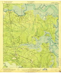
1918 · Kingsland
USGS Topo · 1:62,500
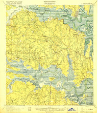
1919 · St Marys
USGS Topo · 1:62,500
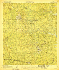
1919 · Hilliard
USGS Topo · 1:62,500
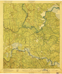
1919 · Boulogne
USGS Topo · 1:62,500
1948 · Jacksonville
USGS Topo · 1:250,000
1957 · Jacksonville
USGS Topo · 1:250,000
1958 · Gross
USGS Topo · 1:24,000