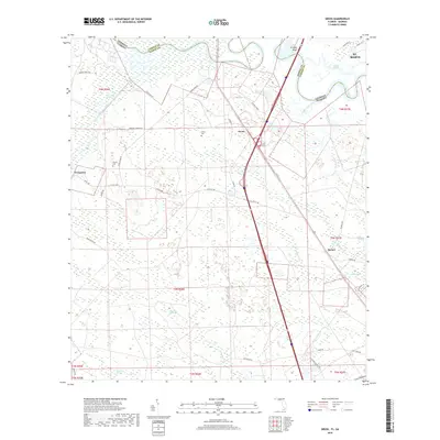
2018 Map of Gross
USGS Topo · Published 2018About this map
The Saint Marys River winds along the border between Georgia and Florida, defining the northern and western margins of this coastal landscape. The terrain is characterized by a complex network of wetlands and tidal drainages, including White Oak Swamp, Plummer Swamp, and McQueen Swamp. These low-lying areas surround higher ground occupied by small, scattered settlements such as Gross, Becker, and Evergreen. Local history is preserved in small burial grounds like Wildes Cem and Owens Cem, which sit near timber and farm roads. The convergence of Upper Sister Creek and Lower Sister Creek before they join the main river highlights the importance of water movement in this flat, marshy environment. This survey provides a clear look at the road network connecting these rural communities, including Old Yulee Rd and Wingate Landing Rd.
Find a feature on this map
50 named features on this map. Tap any name to fly to it.
Don’t see what you’re looking for? This feature index may not catch every label — zoom into the map to look around manually.
Map Details
Editions of this 2018 Gross Map
This is the sole edition of this map. No revisions or reprints were ever made.
Other maps of this area
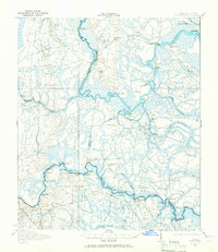
1917 · Boulogne
USGS Topo · 1:62,500
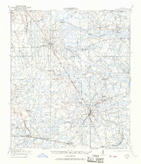
1917 · Hilliard
USGS Topo · 1:62,500
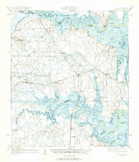
1918 · St Marys
USGS Topo · 1:62,500
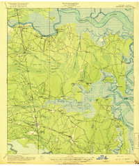
1918 · Kingsland
USGS Topo · 1:62,500
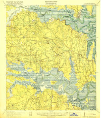
1919 · St Marys
USGS Topo · 1:62,500
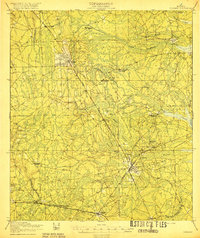
1919 · Hilliard
USGS Topo · 1:62,500
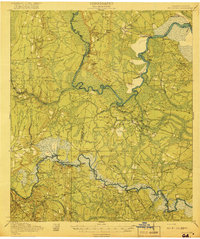
1919 · Boulogne
USGS Topo · 1:62,500
1948 · Jacksonville
USGS Topo · 1:250,000
1957 · Jacksonville
USGS Topo · 1:250,000
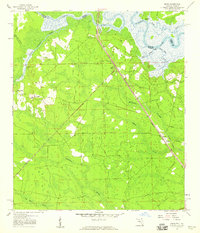
1958 · Gross
USGS Topo · 1:24,000