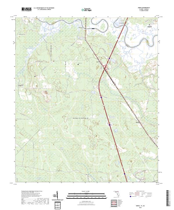
2024 Map of Gross
USGS Topo · Published 2024About this map
The Saint Marys River and Little Saint Marys River define the northern border of this Florida-Georgia boundary region, where the historical Wilds Ferry once linked the two states near Scrubby Bluff. The landscape is dominated by extensive wetland systems including White Oak Swamp, McQueen Swamp, and Plummer Swamp, which have historically shaped the settlement patterns and road networks of northern Nassau County. Small communities and historical landing sites are scattered throughout the timber and marshlands, connected by routes like Amos White Rd and Wingate Landing Rd. Genealogists may find particular interest in the locations of Wildes Cem and Owens Cem, while the inclusion of the Coopers Neck Brg and the settlement of Evergreen provide specific points of reference for tracing family roots and local development in this riverine corridor.
Find a feature on this map
49 named features on this map. Tap any name to fly to it.
Don’t see what you’re looking for? This feature index may not catch every label — zoom into the map to look around manually.
Map Details
Editions of this 2024 Gross Map
This is the sole edition of this map. No revisions or reprints were ever made.
Other maps of this area

1917 · Boulogne
USGS Topo · 1:62,500

1917 · Hilliard
USGS Topo · 1:62,500

1918 · St Marys
USGS Topo · 1:62,500

1918 · Kingsland
USGS Topo · 1:62,500

1919 · St Marys
USGS Topo · 1:62,500

1919 · Hilliard
USGS Topo · 1:62,500

1919 · Boulogne
USGS Topo · 1:62,500

1948 · Jacksonville
USGS Topo · 1:250,000

1957 · Jacksonville
USGS Topo · 1:250,000

1958 · Gross
USGS Topo · 1:24,000