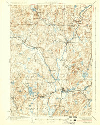
1936 Map of Groton
USGS Topo · Published 1936About this map
The Nashua River and its various tributaries carve through this New England landscape, defining the industrial and social development of towns across the Massachusetts and New Hampshire border. In Groton, the prestigious Groton School stands near the riverbanks, while further south, the Shaker Village at Shirley reflects the distinct communal living patterns of the era. The region is heavily marked by its 1930s rail infrastructure, with the Boston and Maine RR, the Fitchburg RR, and the Boston and Lowell RR intersecting at the busy junction of Ayer. This network supported numerous mill settlements and station hamlets like Townsend Harbor and Paper Mill Village. Along the Squannacook River and Nissitissit River, clusters of development in East Pepperell and Townsend highlight how water power and rail access dictated the settlement density of the Nashua Valley.
Find a feature on this map
125 named features on this map. Tap any name to fly to it.
Don’t see what you’re looking for? This feature index may not catch every label — zoom into the map to look around manually.
Map Details
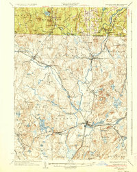
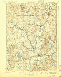
Editions of this 1936 Groton Map
3 editions found
Other maps of this area

1885 · Worcester
USGS Topo · 1:62,500

1886 · Worcester
USGS Topo · 1:62,500

1886 · Lowell
USGS Topo · 1:62,500

1886 · Framingham
USGS Topo · 1:62,500

1887 · Marlboro
USGS Topo · 1:62,500

1887 · Fitchburg
USGS Topo · 1:62,500

1889 · Marlboro
USGS Topo · 1:62,500

1889 · Fitchburg
USGS Topo · 1:62,500

1889 · Framingham
USGS Topo · 1:62,500

1892 · Worcester
USGS Topo · 1:62,500