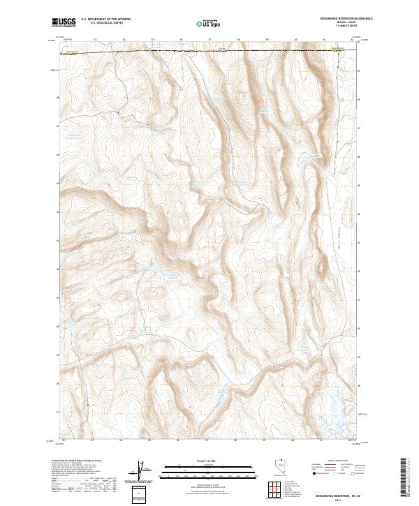
2021 Map of Groundhog Reservoir
USGS Topo · Published 2021About this map
Reservoirs and complex water management systems dominate this high-desert terrain along the Nevada-Idaho border. In a landscape defined by ranching and resource management, family-named and utilitarian water features such as Roger Smith Reservoir, McNeilly Reservoir, and Reservation Fence Reservoir are distributed across the high plains. The terrain transitions toward Duck Valley in the east, while the central portion of the map is defined by the drainage of Circle Cr and Spring Cr.
Find a feature on this map
27 named features on this map. Tap any name to fly to it.
Don’t see what you’re looking for? This feature index may not catch every label — zoom into the map to look around manually.
Map Details
Editions of this 2021 Groundhog Reservoir Map
This is the sole edition of this map. No revisions or reprints were ever made.
Other maps of this area

1939 · Owyhee
USGS Topo · 1:62,500

1942 · Owyhee
USGS Topo · 1:62,500

1955 · McDermitt
USGS Topo · 1:250,000

1955 · Jordan Valley
USGS Topo · 1:250,000

1957 · Jordan Valley
USGS Topo · 1:250,000

1958 · Jordan Valley
USGS Topo · 1:250,000

1959 · McDermitt
USGS Topo · 1:250,000

1964 · Hat Peak
USGS Topo · 1:62,500

1971 · Juniper Basin SE
USGS Topo · 1:24,000

1971 · Juniper Basin
USGS Topo · 1:24,000