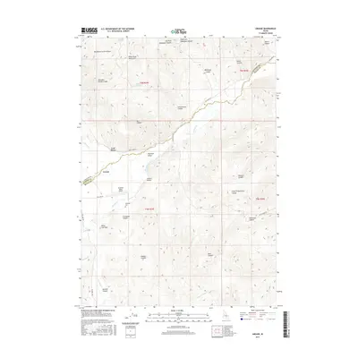
2017 Map of Grouse
USGS Topo · Published 2017About this map
White Knob Mountains dominate the high terrain of this Custer and Butte County border region, where the drainage of Antelope Cr carves a deep valley through the center of the landscape. The small settlement of Grouse sits at the western edge of Antelope Valley, serving as a focal point for the surrounding cattle and ranching country. Local history is etched into the names of the varied topography, from the descriptive Schoolhouse Canyon and Box Bailey Corral Canyon to the more somber Graveyard Canyon.
Find a feature on this map
43 named features on this map. Tap any name to fly to it.
Don’t see what you’re looking for? This feature index may not catch every label — zoom into the map to look around manually.
Map Details
Editions of this 2017 Grouse Map
This is the sole edition of this map. No revisions or reprints were ever made.
Other maps of this area
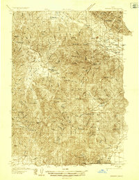
1935 · MacKay
USGS Topo · 1:96,000
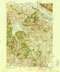
1940 · Mackay
USGS Topo · 1:62,500
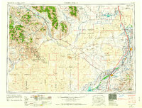
1955 · Idaho Falls
USGS Topo · 1:250,000
1958 · Idaho Falls
USGS Topo · 1:250,000
1960 · Grouse
USGS Topo · 1:62,500
1960 · Mackay
USGS Topo · 1:62,500
1969 · Darlington
USGS Topo · 1:24,000
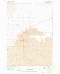
1972 · Nichols Reservoir
USGS Topo · 1:24,000
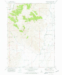
1972 · Appendicitis Hill
USGS Topo · 1:24,000
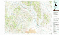
1988 · Arco
USGS Topo · 1:100,000