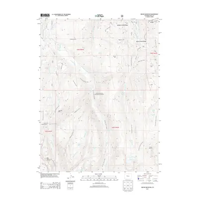
2013 Map of Grouse Mountain
USGS Topo · Published 2013About this map
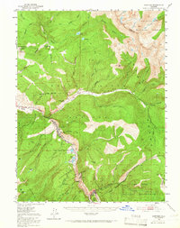
Avon and its surrounding mountain developments are captured here in a period of significant recreation-driven growth. The map illustrates the transition from the high-altitude valley floor to the prominent peaks of New York Mountain and Grouse Mountain, deeply integrated within the White River National Forest. While the northern section focuses on the resort infrastructure of Bachelor Gulch Village and Beaver Creek Village, the southern and western portions reveal a landscape defined by an intricate network of water management and alpine trails.
Find a feature on this map
68 named features on this map. Tap any name to fly to it.
Don’t see what you’re looking for? This feature index may not catch every label — zoom into the map to look around manually.
Map Details
Editions of this 2013 Grouse Mountain Map
This is the sole edition of this map. No revisions or reprints were ever made.
Other maps of this area
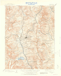
1889 · Leadville
USGS Topo · 1:125,000
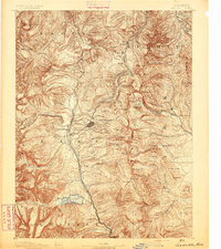
1891 · Leadville
USGS Topo · 1:125,000
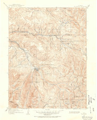
1909 · Mount Jackson
USGS Topo · 1:125,000
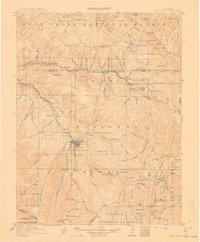
1911 · Mount Jackson
USGS Topo · 1:125,000
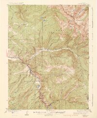
1934 · Minturn
USGS Topo · 1:62,500
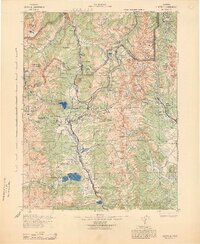
1942 · Leadville
USGS Topo · 1:125,000
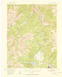
1949 · Holy Cross
USGS Topo · 1:62,500
1950 · Minturn
USGS Topo · 1:62,500
1951 · Holy Cross
USGS Topo · 1:62,500
1957 · Leadville
USGS Topo · 1:250,000