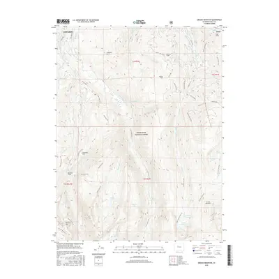
2016 Map of Grouse Mountain
USGS Topo · Published 2016About this map
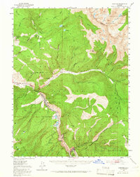
Beaver Creek Ski Area dominates the northern landscape of this quadrangle, showing the intricate network of ski lifts and runs such as Bottom Lift 10 and Lift 9 Mid-Point near Avon. This modern survey illustrates the high-altitude terrain of the White River National Forest, where the settlement of Edwards sits along the northern edge near Eagle Valley. The map details a sophisticated water management system through numerous historical irrigation features, including the Bragg Number 1 Ditch, Creamery Ditch, and Lui-Hopper Ditch. To the south, the topography rises toward New York Mtn and Grouse Mountain, peppered with alpine water bodies like Upper Turquoise Lake and Waterdog Lake. A network of trails including the Dead Dog Trail and New York Mountain Trail provides access through these steep basins and gulches.
Find a feature on this map
72 named features on this map. Tap any name to fly to it.
Don’t see what you’re looking for? This feature index may not catch every label — zoom into the map to look around manually.
Map Details
Editions of this 2016 Grouse Mountain Map
This is the sole edition of this map. No revisions or reprints were ever made.
Other maps of this area
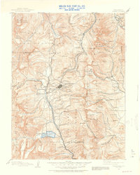
1889 · Leadville
USGS Topo · 1:125,000
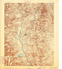
1891 · Leadville
USGS Topo · 1:125,000
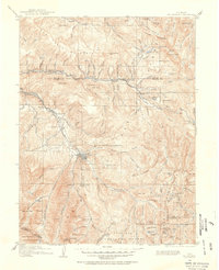
1909 · Mount Jackson
USGS Topo · 1:125,000
1911 · Mount Jackson
USGS Topo · 1:125,000
1934 · Minturn
USGS Topo · 1:62,500
1942 · Leadville
USGS Topo · 1:125,000
1949 · Holy Cross
USGS Topo · 1:62,500
1950 · Minturn
USGS Topo · 1:62,500
1951 · Holy Cross
USGS Topo · 1:62,500
1957 · Leadville
USGS Topo · 1:250,000