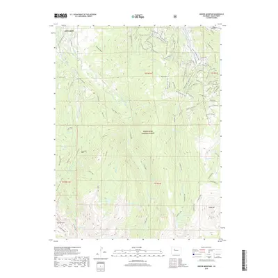
2019 Map of Grouse Mountain
USGS Topo · Published 2019About this map
The Beaver Creek Ski Area dominates the high-alpine terrain of this 2019 survey, illustrating the modern infrastructure of a world-class outdoor destination within the White River National Forest. While the resorts and lifts like Lift 10 and Top Lift 7 represent contemporary recreation, the landscape is deeply etched with historical water management. Essential agricultural and mining-era infrastructure is visible in the network of canals such as the Lui Hopper Ditch, Creamery Ditch, and Townsend Ditch that traverse the slopes near Edwards and Avon. From the high peaks of New York Mountain and Grouse Mountain to the sprawling meadows of McCoy Park, the map reveals a complex web of trails including the Village to Village Trail and the Daybreak Ridge Trail, connecting mountain summits with the valley floor.
Find a feature on this map
94 named features on this map. Tap any name to fly to it.
Don’t see what you’re looking for? This feature index may not catch every label — zoom into the map to look around manually.
Map Details
Editions of this 2019 Grouse Mountain Map
This is the sole edition of this map. No revisions or reprints were ever made.
Other maps of this area
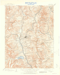
1889 · Leadville
USGS Topo · 1:125,000
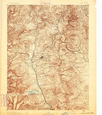
1891 · Leadville
USGS Topo · 1:125,000
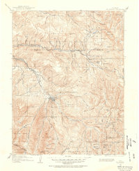
1909 · Mount Jackson
USGS Topo · 1:125,000
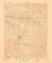
1911 · Mount Jackson
USGS Topo · 1:125,000
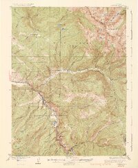
1934 · Minturn
USGS Topo · 1:62,500
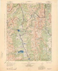
1942 · Leadville
USGS Topo · 1:125,000
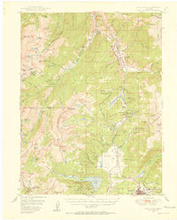
1949 · Holy Cross
USGS Topo · 1:62,500
1950 · Minturn
USGS Topo · 1:62,500
1951 · Holy Cross
USGS Topo · 1:62,500
1957 · Leadville
USGS Topo · 1:250,000