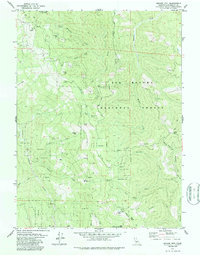
1979 Map of Grouse Mtn
USGS Topo · Published 1985About this map
Six Rivers National Forest dominates this section of the Humboldt and Trinity county line, a landscape defined by sharp ridges and seasonal camps. The northern peaks are anchored by Horse Mountain and its namesake Horse Mtn Mine, while the southern reaches rise toward Spike Buck Mtn and the Grouse Mtn Lookout Tower. The terrain is marked by isolated outposts and family-named landmarks, such as the McMillion Cabin, James Place, and the Bartlett Ranch near the southern boundary. Steep drainages like Madden Creek and Willow Creek carve through the forest, connecting remote locations like Friday Camp and Ammon Station. This 1970s survey captures a moment when resource management and forestry infrastructure, including the Friday Ridge Road and numerous jeep trails, provided the primary access to these remote high-elevation settlements.
Find a feature on this map
51 named features on this map. Tap any name to fly to it.
Don’t see what you’re looking for? This feature index may not catch every label — zoom into the map to look around manually.
Map Details
Editions of this 1979 Grouse Mtn Map
2 editions found
Other maps of this area

1914 · Pilot Creek
USGS Topo · 1:62,500

1915 · Big Bar and Vicinity
USGS Topo · 1:250,000

1922 · Korbel
USGS Topo · 1:62,500

1922 · China Flat
USGS Topo · 1:62,500

1922 · Kneeland
USGS Topo · 1:62,500

1945 · Blue Lake
USGS Topo · 1:62,500

1950 · Iaqua Buttes
USGS Topo · 1:62,500

1951 · Pilot Creek
USGS Topo · 1:62,500

1951 · Blue Lake
USGS Topo · 1:62,500

1952 · Willow Creek
USGS Topo · 1:62,500