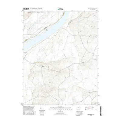
2016 Map of Grove Center
USGS Topo · Published 2016About this map
The Ohio River forms a sweeping boundary between Illinois and Kentucky in this 2016 survey, a landscape defined by its riverine geography and agricultural settlements. The rural community of Raleigh sits on the Kentucky bank, overlooking Bell Island and the expansive bottomlands. To the south and east, the terrain rises into the Dyer Hills and Shawneetown Hills, with localized heights such as The Rocks and Bald Hill punctuating the low-lying basin. The map reveals an intricate network of waterways including Goose Pond Ditch, Cypress Cr, and Wash Cr, which drain the fertile land surrounding Grove Center and Spring Grove. A dense grid of local roads, such as Clabber Alley Rd and Old Shawneetown Rd, connects isolated farmsteads and small crossroads like Blackburn, preserving a traditional rural layout despite modern surveying. This area represents a classic river-border environment where seasonal hydrology, seen in features like Big Lake and Fish Lake, remains central to the character of the land.
Find a feature on this map
54 named features on this map. Tap any name to fly to it.
Don’t see what you’re looking for? This feature index may not catch every label — zoom into the map to look around manually.
Map Details
Editions of this 2016 Grove Center Map
This is the sole edition of this map. No revisions or reprints were ever made.
Other maps of this area
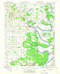
1905 · New Haven
USGS Topo · 1:62,500
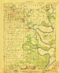
1906 · New Haven
USGS Topo · 1:62,500
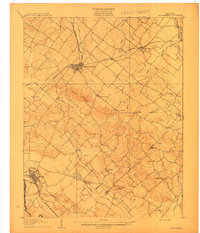
1907 · Morganfield
USGS Topo · 1:62,500
1916 · Shawneetown
USGS Topo · 1:62,500
1917 · Uniontown
USGS Topo · 1:62,500
1949 · Paducah
USGS Topo · 1:250,000
1949 · New Haven
USGS Topo · 1:62,500
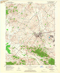
1949 · Morganfield
USGS Topo · 1:24,000
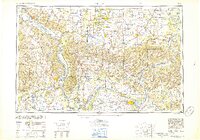
1950 · Paducah
USGS Topo · 1:250,000
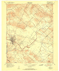
1951 · Sturgis
USGS Topo · 1:24,000