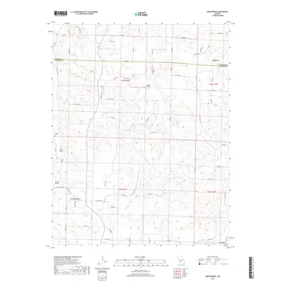
2017 Map of Grovespring
USGS Topo · Published 2017About this map
Grovespring and Origanna anchor this detailed 2017 survey of the border region between Laclede and Wright counties. The landscape is defined by the sharp incisions of the Bean River, Parks Cr, and Steins Cr, which have carved out locally named landforms such as Dinah Hollow, Buttrom Hollow, and Rocky Hollow. This topography heavily influences the rural road network, where routes like Parks Creek Rd and Massey Rd follow the natural contours of the Ozark Plateau.
Find a feature on this map
70 named features on this map. Tap any name to fly to it.
Don’t see what you’re looking for? This feature index may not catch every label — zoom into the map to look around manually.
Map Details
Editions of this 2017 Grovespring Map
This is the sole edition of this map. No revisions or reprints were ever made.
Other maps of this area
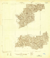
1931 · Manes
USGS Topo · 1:48,000
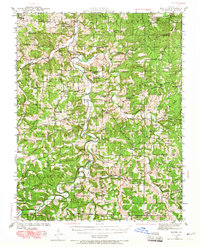
1941 · Manes
USGS Topo · 1:62,500
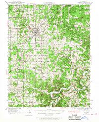
1941 · Lebanon
USGS Topo · 1:62,500
1943 · Lebanon
USGS Topo · 1:62,500
1943 · Manes
USGS Topo · 1:62,500
1943 · Drynob
USGS Topo · 1:62,500
1954 · Springfield
USGS Topo · 1:250,000
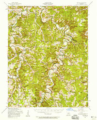
1954 · Drynob
USGS Topo · 1:62,500
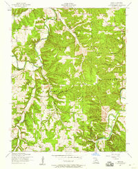
1954 · Drew
USGS Topo · 1:24,000
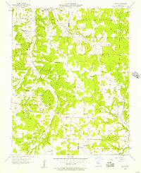
1956 · Duncan
USGS Topo · 1:24,000