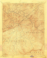
1963 Map of Grundy
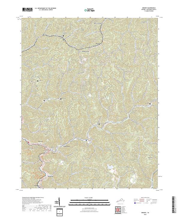
USGS Topo · Published 1965About this map
The Norfolk and Western railroad winds through the narrow valleys of Buchanan County, following the course of Levisa Fork and Home Creek to support a landscape defined by intensive coal extraction. This mid-century survey documents a dense network of industrial activity, where numerous Strip Mine operations and a Tipple at Tookland mark the region's economic reliance on the coalfields. The settlement pattern is largely confined to the valley floors, with small communities such as Poetown, Royal City, and Newhouse clustered near the rail lines and watercourses. Local social infrastructure is well-represented by several rural burial grounds like Fletcher Cem and Shortridge Cem, along with educational institutions including Mountain Mission Sch and Grundy High Sch. The topography is a complex system of ridges and hollows, where labels like Shortridge and Rowe Mountain stand above the intricate drainage system of Looney Creek and Slate Lick Branch.
Find a feature on this map
66 named features on this map. Tap any name to fly to it.
Don’t see what you’re looking for? This feature index may not catch every label — zoom into the map to look around manually.
Map Details
Editions of this 1963 Grundy Map
2 editions found
Historical Maps of Grundy Through Time
5 maps found