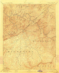
1963 Map of Grundy
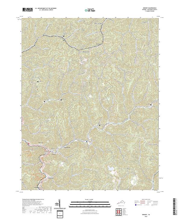
USGS Topo · Published 1978About this map
The confluence of Slate Creek and the Levisa Fork serves as the commercial heart of the region, where the town of Grundy sits along the Norfolk and Western railroad. This coal-country landscape is defined by its industrial geography, with countless Mine sites, Strip Mine operations, and a complex network of ridgeline trails like the Anderson Branch Trail. Notable institutions serving these valley communities include the Grundy High Sch and Mountain Mission Sch, while smaller settlements such as Royal City, Tookland, and Poetown follow the narrow creek beds. Deep in the hollows, local genealogy is anchored by the Belcher Cem, Shortridge Cem, and McClanahan Cem. The presence of many Gas Well locations alongside traditional mining infrastructure reveals the shifting energy economy of Buchanan County during the 1960s and 1970s.
Find a feature on this map
93 named features on this map. Tap any name to fly to it.
Don’t see what you’re looking for? This feature index may not catch every label — zoom into the map to look around manually.
Map Details
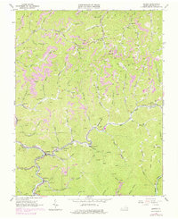
Editions of this 1963 Grundy Map
2 editions found
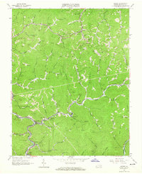
Historical Maps of Grundy Through Time
5 maps found