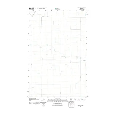
2010 Map of Grygla SW
USGS Topo · Published 2010About this map
Mud River meanders across this rural Marshall County landscape, providing a primary natural landmark in a region otherwise defined by the rigid geometry of the Public Land Survey System. The area is characterized by large agricultural tracts and a systematic network of section-line roads, including County Hwy 53 and 330th Ave NE. These routes facilitate movement across the flat northern Minnesota terrain, connecting isolated farmsteads and rural properties. The density of the road network, from 340th St NE in the north to 290th St NE in the south, indicates a highly organized agricultural economy. This 2010 survey by the U.S. Geological Survey captures the persistence of the traditional township-and-range layout in the modern era, where even the smallest watercourses like the Mud River dictate the slight deviations in an otherwise strictly cardinal grid.
Find a feature on this map
12 named features on this map. Tap any name to fly to it.
Don’t see what you’re looking for? This feature index may not catch every label — zoom into the map to look around manually.
Map Details
Editions of this 2010 Grygla SW Map
This is the sole edition of this map. No revisions or reprints were ever made.
Other maps of this area
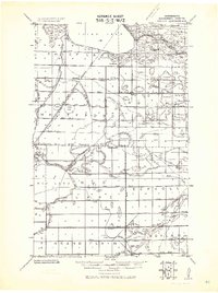
1918 · Rollis
USGS Topo · 1:62,500
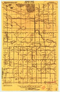
1919 · Liner
USGS Topo · 1:62,500
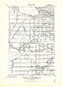
1943 · Rollis
USGS Topo · 1:62,500
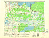
1954 · Roseau
USGS Topo · 1:250,000
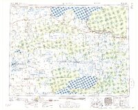
1957 · Roseau
USGS Topo · 1:250,000
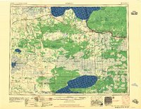
1958 · Roseau
USGS Topo · 1:250,000
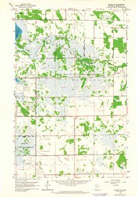
1962 · Gatzke SE
USGS Topo · 1:24,000
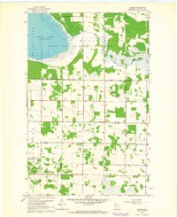
1962 · Gatzke
USGS Topo · 1:24,000
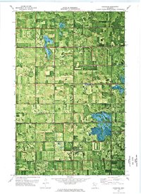
1972 · Goodridge
USGS Topo · 1:24,000
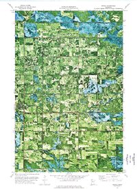
1973 · Grygla
USGS Topo · 1:24,000