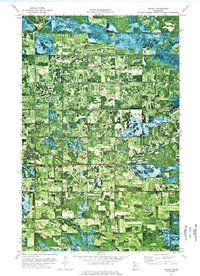
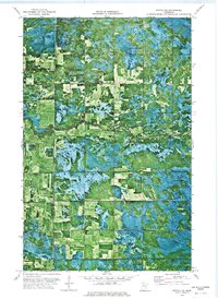
1973 Map of Grygla
USGS Topo · Published 1976About this map
Grygla sits at the intersection of rural Marshall and Beltrami counties, serving as a hub for the surrounding agricultural and wetland landscape of northern Minnesota in the early 1970s. The village is surrounded by the vast Grygla State Wildlife Management Area and bordered to the north by the Red Lake Indian Reservation. This orthophotomap emphasizes the managed hydrology of the region, where the Mud River is supplemented by extensive drainage systems like Judicial Ditch 11. Scattered throughout the township sections of Espelie and Enilli are the small centers of community life, including the St Olaf Ch and Bethesda Ch. These church sites, along with their associated grounds at St Olaf Cem, Bethesda Cem, and Valley Cem, provide essential landmarks for genealogists tracing family roots in this corner of the state.
Find a feature on this map
13 named features on this map. Tap any name to fly to it.
Don’t see what you’re looking for? This feature index may not catch every label — zoom into the map to look around manually.
Map Details
Editions of this 1973 Grygla Map
This is the sole edition of this map. No revisions or reprints were ever made.
Other maps of this area

1918 · Malcolm
USGS Topo · 1:62,500

1918 · Jelle
USGS Topo · 1:62,500

1919 · Liner
USGS Topo · 1:62,500

1954 · Roseau
USGS Topo · 1:250,000

1957 · Roseau
USGS Topo · 1:250,000

1958 · Roseau
USGS Topo · 1:250,000
1973 · Grygla SW
USGS Topo · 1:24,000
1973 · Erie NE
USGS Topo · 1:24,000
1973 · Randeen Ridge
USGS Topo · 1:24,000
1973 · Grygla NE
USGS Topo · 1:24,000